About
Who We Are
Restoration in Massachusetts
Research
Projects
Sites
People
Partners
Publications
Insights
Donate
Log In
Help/Docs
Sign In
Marstons Mills Comprehensive Study Area
Property
Site Code:
CSA
Town/City:
Barnstable
Property Owner:
Barnstable Clean Water Coalition
GeoJSON
WKT
Overview
Nearby
Notebook
Photos
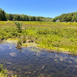
CSA Photo Monitoring Point 9
Down
CSA Photo Monitoring Point 9
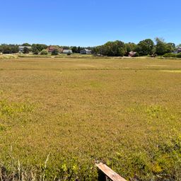
Bog
CSA Photo Monitoring Point 9
Up
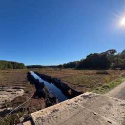
CSA Photo Monitoring Point 7
image -upstream
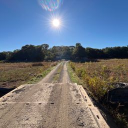
CSA Photo Monitoring Point 7
image
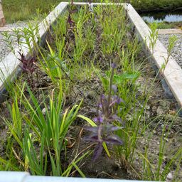
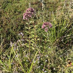
Joe pye weed (Eupatorium purpureum)
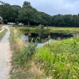
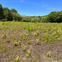
Old farm reservoir
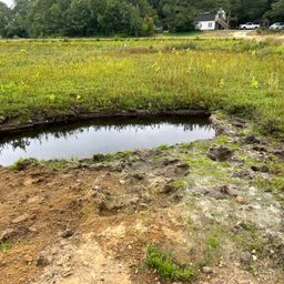
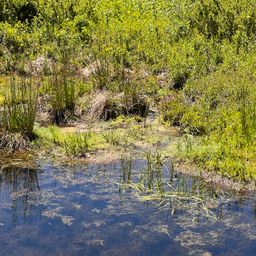
Ponded groundwater
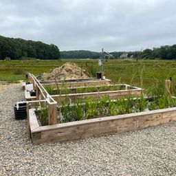
Mesocosms - construction
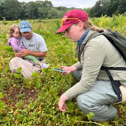
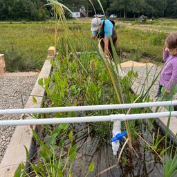
Haley Miller, Luke Cadrin and Marigold Cadrin sample vegetation
IMG 2137
Mesocosm - shallow marsh
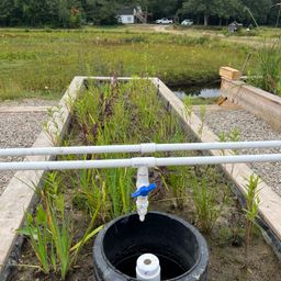
Mesocosm - wetland
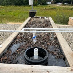
Mesocosm wood chips
IMG 5078
A portion of AWC designated area
Active farm downstream from CSA
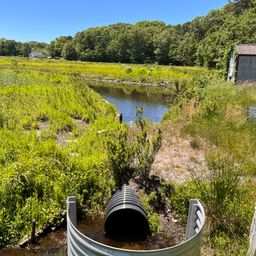
Old pump house and piping
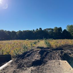
Looking toward active bog
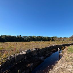
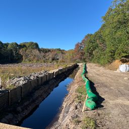
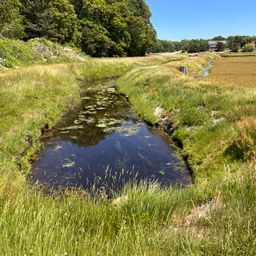
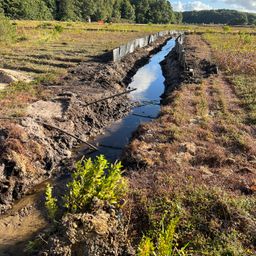
Ditch and berm separating active farm from retired BCWC property
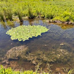
Waterlilies in edge ditch
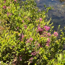
Sheep laurel (Kalmia angustifolia) (vertical)
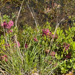
Sheep laurel (Kalmia angustifolia)
IMG 5058
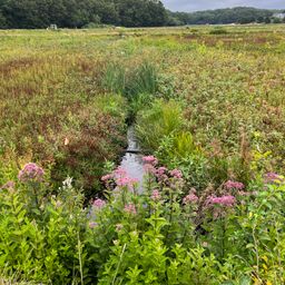
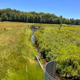
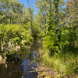
Marstons Mills River headwaters stream
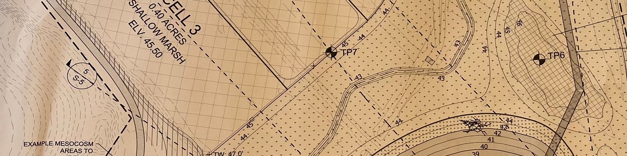
Draft Design for CSA treatments
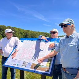
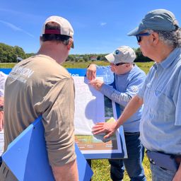
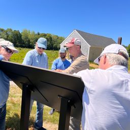
CSA team discuss configuration for deep and shallow marsh componentsmar
CSA design team discuss idea for deep marsh and shallow marsh configuration
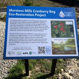
Signage for the Mesocosms
Before AWC islands are constructed5868
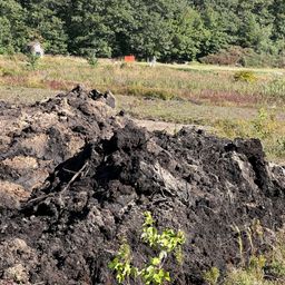
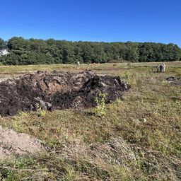
Close up of excavated peat and sand
Excavated peat and sand from pond
New england astor and Joe pye weed
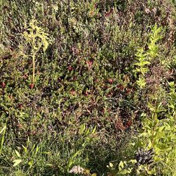
MMCSA team_walk_around_6_ripe_cranberries_IMG_5859
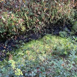
A nice patch of sphagnum in a ditch
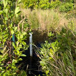
Marstons Mills river staff plate
Dan stops to chat with Luke
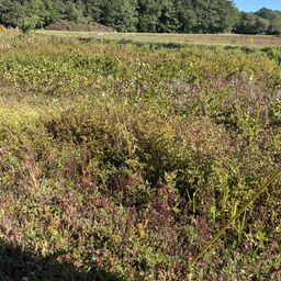
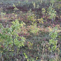
Maples and Poison Ivy on retired bog
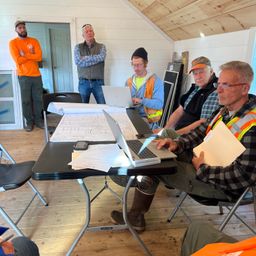
CSA Team meeting
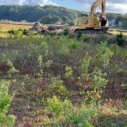
Excavating Pond at CSA
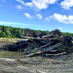
Stack of large wood
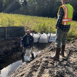
Marstons Mills River diverted for construction
MMCSA bog building