Tidmarsh Farms/Beaver Dam Brook wetland and river restoration project
Landscape of Hope: A storymap tour of the property and restoration
The Living Observatory Team and Mass Audubon with support from the America the Beautiful Challenge Grant, have produced a story map resource for reference and archival purposes.

Landscape of Hope is an ArcGIS story map project highlighting the history of Tidmarsh Farm, the restoration, and Mass Audubon's development of the Tidmarsh Wildlife Sanctuary. The project was assembled and developed by Kim Snyder and published in 2025.
This story map includes several interactive features to help visitors learn more about the history and ongoing projects at Tidmarsh Wildlife Sanctuary. Some of these features include:
- A map of the watershed with interactive information points about the restoration work and habitats of Tidmarsh,
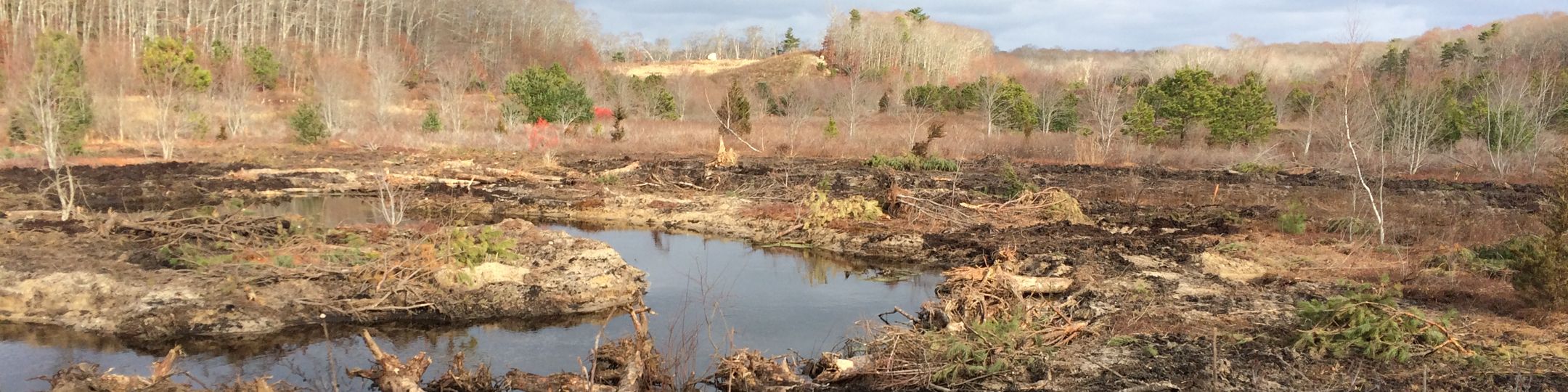
- sliding photo windows demonstrating the dramatic changes to the landscape from restoration work that detail the transformation from Tidmarsh Farms into Tidmarsh Wildlife Sanctuary,
- information on continuing monitoring work by Living Observatory,
- community science opportunities on the property open to public participation,
- resources for climate action and restoration work in Plymouth,
- links to archival new stories about Tidmarsh and the restoration efforts.
Working on this project was a unique challenge, as pictures, reports, and information on the restoration were scattered between multiple partners and spanned multiple decades. Fact-checking was an essential part of development, as files were sometimes unlabeled or out of sequence. My favorite part of the story map was the watershed map - a chance to follow the main waterway on the property and examine how changes along Beaver Dam Brook tell the story of restoration.
I hope you enjoy exploring our story map!

December 2, 2025