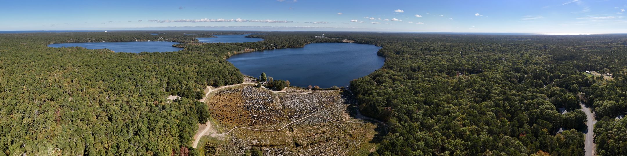
Hinckleys Pond Herring River Headwaters Eco-Restoration
Reviewed and updated documentation
I just completed a review of the original data documentation for this project added by Mike Palmer, APCC. On the monitoring and data page, I have added headers, and inserted links to data files. For demonstration purposes I've embedded a using regular hyperlinks (accessed with chain icon in the editor menu), and others showing the use of embed document feature (accessed with the page icon in the editor menu).
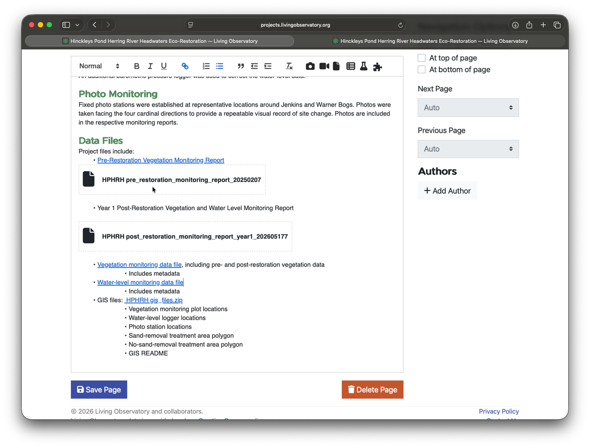
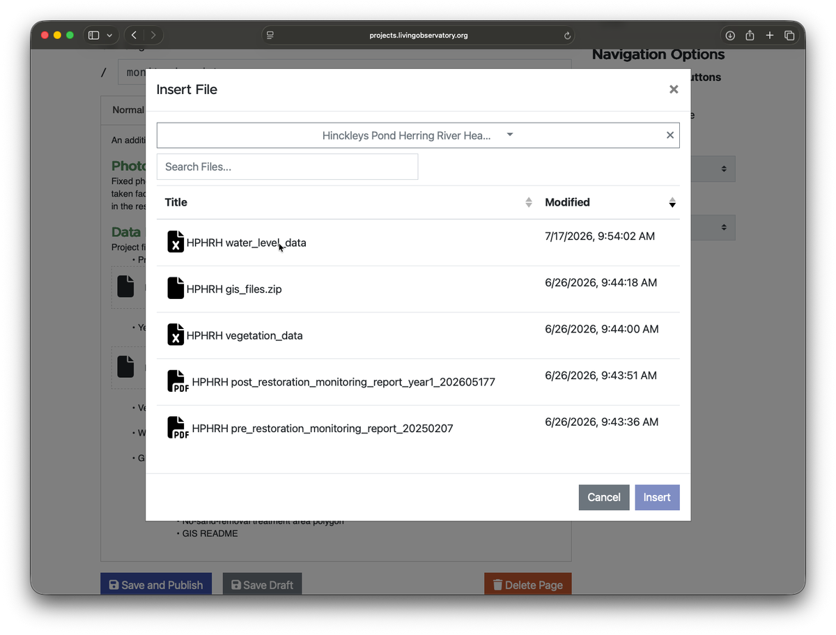
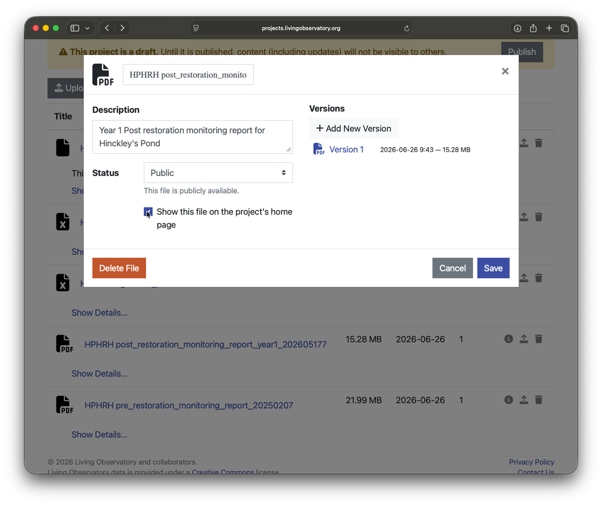
For the Monitoring reports, I’ve selected the option to make them visible from the home page.
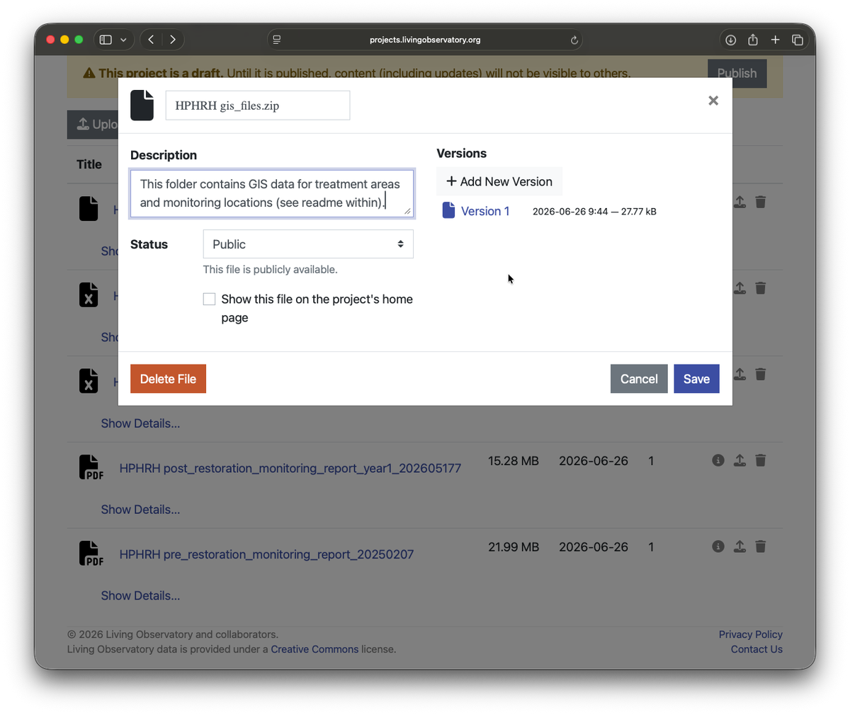
For GIS data, I’ve added a description to the file that points people to the readme within the zip.
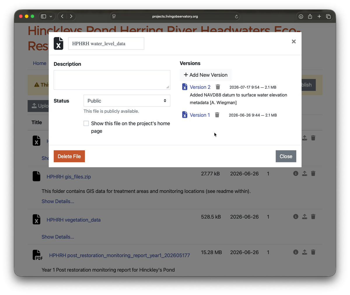
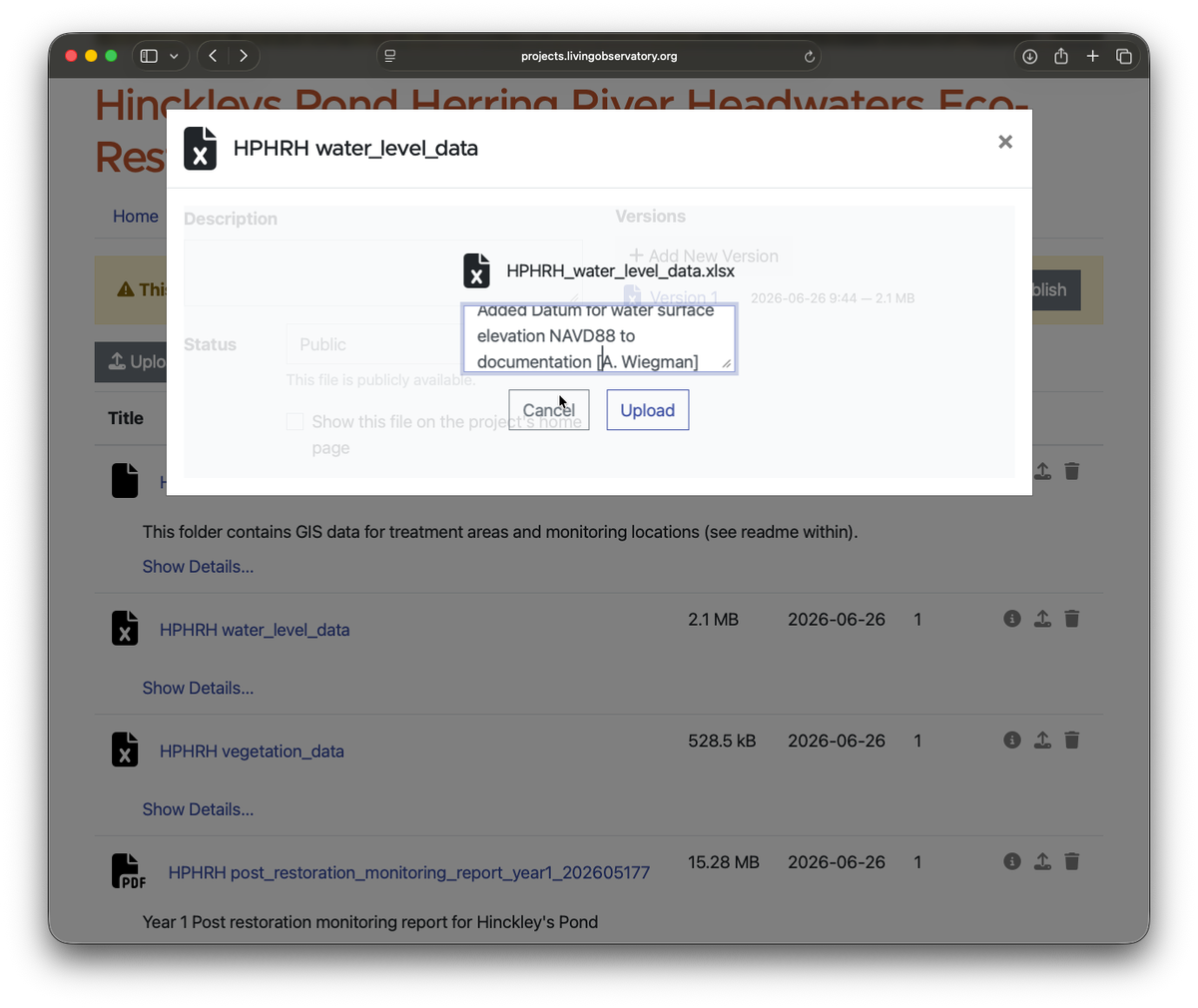
For water level, the metadata description makes it unclear if it is water level (relative to the sensor or ground surface) or surface water elevation. My review of the data and reports, indicates that all sensors report water surface elevation NAVD88. I recommend specifying this in the metadata I’ve uploaded a new version of the file where this change has been made, the upload has a note about my change.
Name: Water_Level_FT_NAVD88:
Description: Barometrically corrected water level or water surface elevation, in feet NAVD 88, derived from logger pressure records and field calibration measurements.
July 17, 2026
