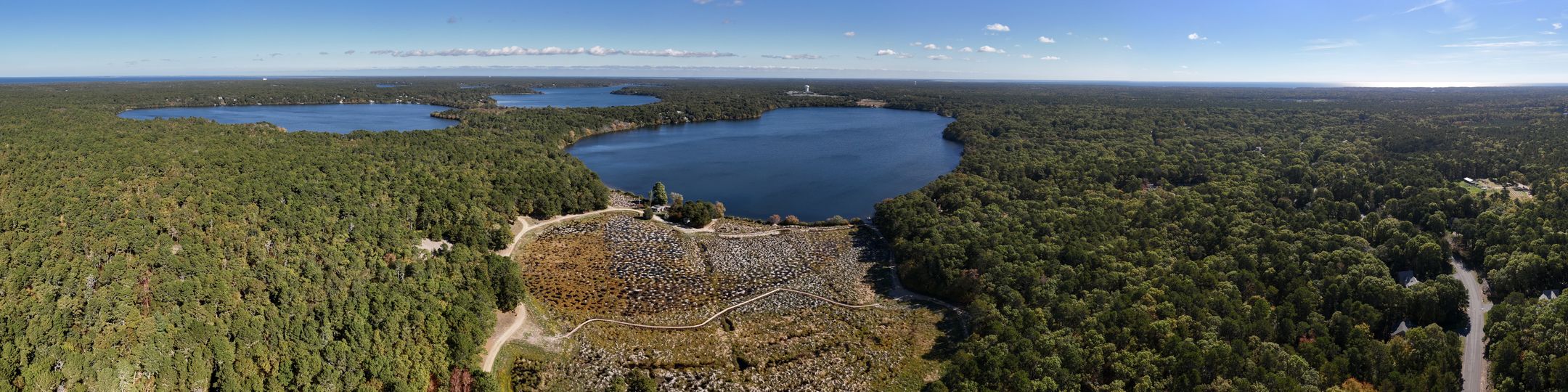
Hinckleys Pond Herring River Headwaters Eco-Restoration
Monitoring and Data
Monitoring documented site conditions before and after restoration at Jenkins Bog and Warner Bog. The monitoring record included pre-restoration vegetation and photo monitoring, followed by Year 1 post-restoration vegetation, water-level, and photo monitoring.
These data were collected to document ecological change over time and to evaluate how the restored bogs responded to different treatment areas, including areas with sand removal and areas without sand removal.
Pre-restoration monitoring was completed in August 2024. This work established baseline vegetation plots and fixed photo stations before restoration construction began.
The pre-restoration vegetation monitoring data are included in the vegetation monitoring data file. The Pre-Restoration Vegetation Monitoring Report is also available as a project file.
Year 1 post-restoration monitoring was completed in 2025 after restoration construction. This work repeated the vegetation monitoring at the same long-term plots, repeated the fixed photo monitoring, and included water-level monitoring at groundwater, surface-water, and pond locations.
The year 1 post-restoration vegetation monitoring and water level monitoring data are included in the project files as well the Year 1 Post-Restoration Monitoring Report.
Vegetation monitoring was conducted in permanent 3 x 3 meter plots at Jenkins and Warner Bogs. The plots were located in both sand-removal and no-sand-removal treatment areas.
Within each plot, plant species and percent cover were recorded, along with bare ground, open water, leaf litter, and woody debris. Plot photographs were also taken from the southern edge of each plot facing north.
Water-level monitoring was conducted using loggers installed in groundwater, surface-water, and pond locations at Jenkins and Warner Bogs. The loggers recorded pressure and temperature and were used to track water-level conditions after restoration.
An additional barometric pressure logger was used to correct the water-level data.
Fixed photo stations were established at representative locations around Jenkins and Warner Bogs. Photos were taken facing the four cardinal directions to provide a repeatable visual record of site change. Photos are included in the respective monitoring reports.
Project files include:
- Year 1 Post-Restoration Vegetation and Water Level Monitoring Report
- Vegetation monitoring data file, including pre- and post-restoration vegetation data
- Includes metadata
- Water-level monitoring data file
- Includes metadata
- GIS files: HPHRH gis_files.zip
- Vegetation monitoring plot locations
- Water-level logger locations
- Photo station locations
- Sand-removal treatment area polygon
- No-sand-removal treatment area polygon
- GIS README