
The Hydrologic Understory
The hydrologic understory explores groundwater flowpaths, surface water mixing, underground thermal regimes, and soil moisture monitoring to map out the interconnected web of hydrology and ecology beneath the surface.

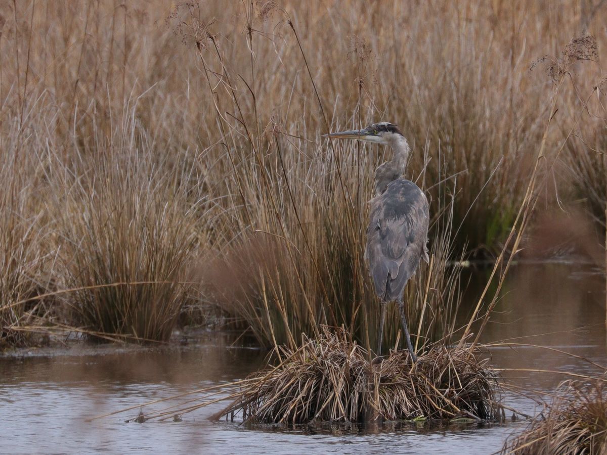
(Credit: Lyn Watts and Christine Hatch)
One of the most basic, defining metrics of a wetland is, as the name implies, its wetness, The relative water content in the soil can be assessed in a variety of ways, and this quantity alone is important for reasons beyond wetland function. Specifically, for a wetland to become established and remain functional independently, sufficient water must be present throughout the year to favor wetland plants and animals, which thrive in wet environments but are unlikely to outcompete invasive biodiverse ecosystems present in Massachusetts, providing unique habitat for species ranging from insects and endangered native fishes to coastal and songbirds, and plants which thrive in environments that range from completely saturated year-round to dry. Because this niche environment is crucially important for ecosystem services (including, but not limited to verdant habitat and food supply for a large diversity of plant, animal, and insect species, water filtration, slowing and spreading of floodwaters, limiting erosion, storage of carbon and other nutrients, temperature buffering, pollinator habitat and forage lands, and water storage), significant attention has been paid to conserving and restoring wetlands and their optimum function wherever possible.
Total wetland area in the U.S. has been in precipitous decline since the 1900's, and although recent decades have slowed the decline and advocated strongly for the services and economic benefits (not to mention ecological benefits!) these lands provide, still much more work needs to be done to preserve existing wetlands and promote restoration of impaired ones. Specifically, new research indicates that the approach of destroying a wetland in one area and building a new one elsewhere is largely ineffective, because the full function of the system takes many decades or even hundreds of years to develop fully, if at all (e.g. Ballantine et al. 2009 and 2012). Curiously, most restoration efforts only extend post-restoration monitoring for a period of three years or less, a timeframe that is woefully insufficient to see real change develop.
We are developing a protocol to measure soil moisture and to monitor change over time, based on a series of techniques — chiefly hydrologic measurements (e.g. piezometers, water levels), soil moisture monitoring, and gravimetric sampling. Our research will help the community (e.g. land conservationists, state agencies, landowners, and funding or regulatory agencies) to assess the success of freshwater restoration projects on former cranberry farms and the effectiveness of these specific management and restoration approaches for protecting water resources, improving wildlife habitat, optimizing ecosystem services, and promoting recreational and other enjoyment of the restored ecosystem.

(Credit: Lyn Watts and Christine Hatch)
Our long-term goals are to:
- Identify which restoration actions (such as sand removal, manual surface disturbance, material addition, do nothing, light microtopography, heavy microtopography and full soil column mixing etc.) conducted in conjunction with specific subsurface features (such as thickness of peat, curvature of the peat basin, groundwater seeps, etc.) result in the desired distribution of surface soil moisture and the most effective restoration of wetland ecosystem processes.
- Identify the most effective and economical method(s) for measuring soil moisture and soil and shallow surface water thermal properties.
- Establish best management practices using these tools for assessment of freshwater restoration project(s), and guidance when considering restoration.
The objectives of this research, or the steps toward our goal, are to:
- Assess the surface and subsurface hydrology and hydrogeology pre-restoration.
- Monitor changes in the subsurface hydrology, relative locations and contributions of ground and surface water, in response to restoration actions over time.
- Assess the state of soil moisture and subsurface thermal regimes across the site prior to disturbance by restoration activities.
- Assess the evolving state of soil moisture and subsurface thermal regimes across the site after completion of restoration activities.
- Quantify mechanisms for changing properties (e.g. hydraulic conductivity, surface vs. groundwater source, height of local water table, etc.) and relate them to current and future climate.
- Relate these observations to work by other researchers on the site, including native plant specialists, wetland ecologists, freshwater ecologists among many others to draw parallels between soil moisture, underlying hydrogeology, and ecological expression.
Foothills Preserve (previously Tidmarsh West), is a cranberry farm that came out of production in 2015, and underwent active restoration in 2020, so time and learning from completed wetland restorations of former cranberry farms is of the essence: data collected at the recently completed Tidmarsh Wetland Restoration Project (formerly Tidmarsh East; now part of Mass Audubon’s Tidmarsh Wildlife Sanctuary) will not only help inform the design of restoration actions on future wetland restorations from cranberry farms, they also provide a critical long-term record of the changing underground hydrology on the site in response to those actions. Wetland restoration success can be measured by the combined metrics of wetness, soil composition and plant communities and lessons learned will inform similar wetland restoration projects throughout the region where cranberry farmers may seek alternatives to an increasingly challenging market and facilitate MA DER’s new program recommendations for the same. Because many cranberry farms were well-developed wetlands for tens of thousands of years before farming activities commenced a hundred or so years ago, systems like Foothills may benefit from a jump start back to a more natural state. There are many locations Massachusetts that may follow suit if economic conditions and incentives are aligned.

(Credit: Lyn Watts)
Soil moisture is a key indicator of healthy wetland function. In recent years, there has been a push to incorporate more and better remote sensing techniques into assessment of soil moisture in an effort to quantify global soil moisture (e.g. Dorigo et al. 2011). The Soil Moisture Active/Passive Mission (see https://www.nasa.gov/smap) now provides daily values of soil moisture across the globe at 30km pixel resolution. However, calibrating large-scale remotely-sensed data with ground-based measurements is challenging, and a number of researchers have achieved significant accuracy for their methods (e.g. Cosh et al. 2004 and 2008, Crow et al. 2012 and Ochsner et al. 2013). For this project, we build on existing knowledge applying soil probe measurements to soil moisture assessment in a wetland restoration environment (Striegl and Loheide 2012) with various other techniques for large-scale monitoring of soil moisture (Ochsner et al. 2013) and geophysical techniques such as ground penetrating radar and electrical resistivity. In addition to potential quantification of changing regimes of soil moisture, monitoring water levels underground allows a window into subsurface hydrology. In this way, we can monitor hydroperiods, or lengths of time when the water table is above a particular threshold, which can serve as an indicator of likely wetland plant, or Atlantic White Cedar (AWC) seedling survival (e.g. Booth and Loheide 2012). Wherever water is present beneath the surface, it will be detected using pressure transducers without any additional disturbance to the soil below or plants above.


We are specifically interested in the efficacy of different restoration treatments. We will use UAV thermal and topographic data, along with Ground-based LiDAR, and publicly available Mass LiDAR to examine both “undisturbed” (passive) restoration interventions and “active” areas, where hummocky topography was generated in hopes of producing pockets of diverse microclimates. Detailed soil moisture data using a field probe will be collected at individual monitoring locations and along transects, and statistical analysis of the data will be conducted in order to assess the variability of moisture across the site(s). Two UAV missions are planned, one in winter and one in June/July, to capture thermal imagery of the site(s); this has been shown to be an effective technique for identifying groundwater inflows (e.g. Deitchman and Loheide, 2009, Boughton et al., 2011, Hare et al, 2017 and Briggs et al., 2018). We will then conduct statistical and difference analysis of topographical variability between restored and control sites, and compare these to soil moisture and distributed thermal data.

Living Observatory is a collaborative of researcher partners who are interested in the long-term outcome of wetland restoration projects on former cranberry farms, and sharing these outcomes with the public. The work to understand the hydrologic understory is part of the greater L.O. mission, and interfaces with many other researchers working on the site, including: sensor networks operated by the MIT Media Lab, and shared laboratory analyses and data with wetland expert Kate Ballantine of Mount Holyoke College. In order to measure the driving forces behind wetland evolution and function as quantified by Ballantine’s research group (e.g. Ballantine et al. 2009 and 2012), we would like to capture the most comprehensive collection metrics to assess the ultimate driver of wetland ecology: the hydrology. To that end, at Foothills Preserve we have installed fiber optic cables across the site to capture the spatial variability in subsurface temperature and moisture patterns, piezometers in the bog and stream channels to monitor groundwater levels, and a long-term weather and environmental monitoring station in coordination with ground-based MIT measurements (and data servers). In addition, this year we installed and configured COSMOS sensor station at Foothills Preserve (on loan from the USDA-ARS in Beltsville, MD). This device senses cosmic rays that come from the sun after they bounce off the land surface over a radius of ~500m around the sensor. These rays are conditioned by the amount of water in the upper 15-30cm of the land surface, and the measurements provide and integrated landscape-scale assessment of root zone moisture. The behavior of landscape-scale moisture content over time is a function of shallow organic material (e.g. development of hydric soils required for wetland function), and the total wetness, the first predictor of wetland success. Comparing this recently-abandoned bog COSMOS sensor data to a restored site and a decades-abandoned bog site will be very valuable for quantifying the relative impacts of restoration actions on the surface moisture regime and, ultimately, restoration success at the landscape scale. We have identified two sites that would be optimal for COSMOS landscape-scale soil moisture observation stations at Tidmarsh Wildlife Sanctuary: one in the restored bog area, and another in the “Farmstand Bog”, an abandoned cranberry farm that was not restored and is overgrown with pines. This will be addressed in a forthcoming research proposal.

Our ability to assess the effectiveness of these management and restoration approaches for (a) protecting water resources, (b) improvement of wildlife habitat, (c) optimizing ecosystem services and (d) recreational and other enjoyment of the restored ecosystem requires a LONG-TERM diverse approach to monitoring and measurement. Integrating diverse data sets that are being assembled under the Living Observatory umbrella will provide insights into how the restoration landscape evolved, help inform new projects in the state and region, and provide a road map for best monitoring and measuring approaches for future wetland restoration projects, thus helping to secure the preservation of these former cranberry lands for the multitude of environmental and other services they provide. Together, the permanently protected Tidmarsh Wildlife Sanctuary and Foothills Preserve form a large, long-term ecological research site where investigators can collect data sets long enough to observe recovery of the restored landscape and make robust calculations of these recovery times. In so doing, we can tune these tools for improved application of this approach here and elsewhere in the region.

(Credit: Lyn Watts and Christine Hatch)