Sampson's Brook Headwaters Restoration Project
Location: Blackwater Memorial Forest
Address: 25-27 Winthrop Street
Town: Kingston, MA
Property owner: Town of Kingston
Retirement year: early 2000’s
Restoration year: 2025
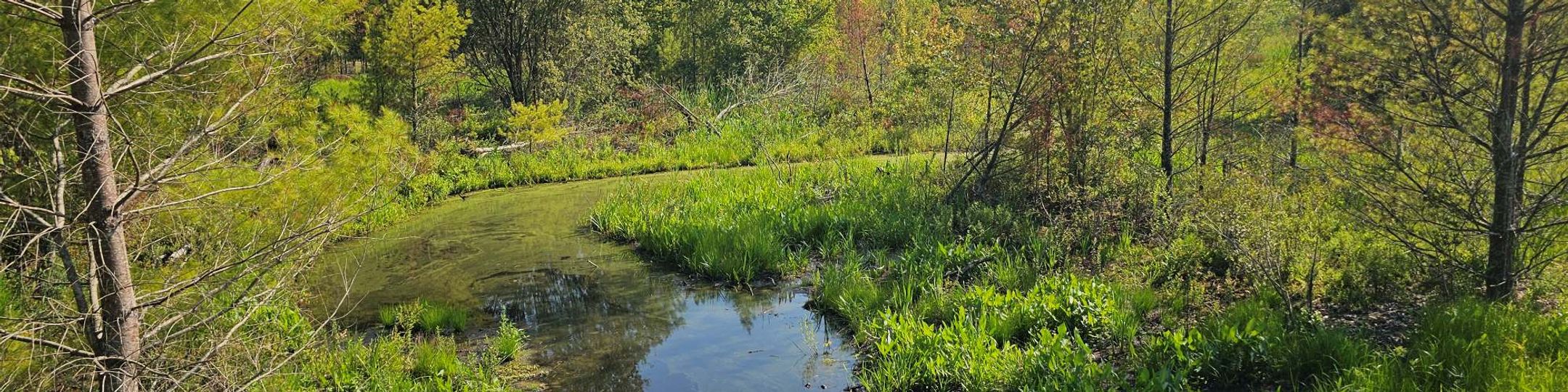
The Town of Kingston, MA, acquired a 46-acre parcel (now known as Blackwater Memorial Forest), containing forested uplands, a 4 acre cranberry production bed, and an 8 acre impounded acidic fen functioning as a reservoir. The ecological restoration project spanned from fall 2024 through early spring 2025 and involved removing water control structures, redirecting stream flow, installing log jams to enhance water retention, and introducing microtopography to restore wetland functions in the reservoir and the former production bed. Researchers with Living Observatory are assisting with post-restoration monitoring to assess changes in hydrology, vegetation, soils, and aquatic habitat.
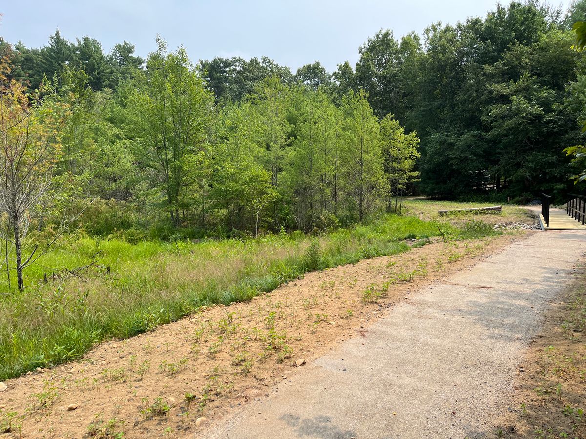
Walking path showing an area where perimeter ditches were filled (credit: Adrian Wiegman)
When the farmer and previous owner of the property chose to list it for sale, with assistance from the Massachusetts Division of Conservation Services Local Acquisitions for Natural Diversity (LAND) Grant Program as well as Community Preservation Act funds, the Town of Kingston was able to exercise its right of first refusal under Massachusetts General Law Chapter 61A to purchase the 46-acre property for conservation purposes (now known as Blackwater Memorial Forest). The Town applied for and was awarded funding from the Massachusetts Department of Fish and Game’s In-Lieu Fee Program later in 2022 to support stream and wetland restoration in the former cranberry growing area.
Groundwater upwelling within an 8-acre acidic fen habitat creates the headwaters of Sampson’s Brook, which flows through AWC swamp habitat to Blackwater Pond, connecting from there through Stony Brook to the Jones River and Kingston Bay. Installation of an earthen berm (year unknown) created an impoundment which served as the reservoir for the cranberry operation, which ceased in the early 2000s. Boards were removed from the upstream water control structure and added to the downstream water control structure while the restoration project was being designed and permitted, in order to establish the target water level for the impoundment to maintain some ponded habitat closest to the berm while allowing the acidic fen shrub species to expand, and also to encourage wetland hydrology in the 4-acre former growing area. It was hoped that the downstream board addition would kill some of the young eastern white pine that had filled much of the former bog cell, but this did not occur (though they didn't look happy- nearly all exhibited yellowed needles). Post-restoration we have seen a bit of pine mortality likely from hydrological change, though the denser patches of pine monoculture were removed during the restoration process.
During active restoration (2024-2025), the two culverts with water control structures were removed and replaced with notched log weirs. At the northern extent of the growing area, stream flow which had concentrated in the perimeter bog ditches was redirected into the central bog ditch (perimeter ditches and the outer extents of the lateral ditches were filled). A series of three log jams was added in the central ditch to slow the movement of water and encourage eddying and water retention in the former growing area. Following the lead of other cranberry bog restoration projects, the restoration also introduced microtopography, or pit and mounding of the surface, in select areas of the bog to break up cranberry vines and expose the native seed bank that was buried under layers of sand during cranberry farming. While the site did not have a large quantity of invasive species, gray willow was treated in the former bog cell and berm, sevral shrub honeysuckle were removed from the bog perimeter, and small patches of Phragmites will be treated in the upstream acidic fen habitat. Thankfully this site had areas of dense Sphagnum, and where the pines had not shaded the substrate, diverse native wetland shrubs and forbs. Minimizing disturbance to these areas was a focus during restoration planning.
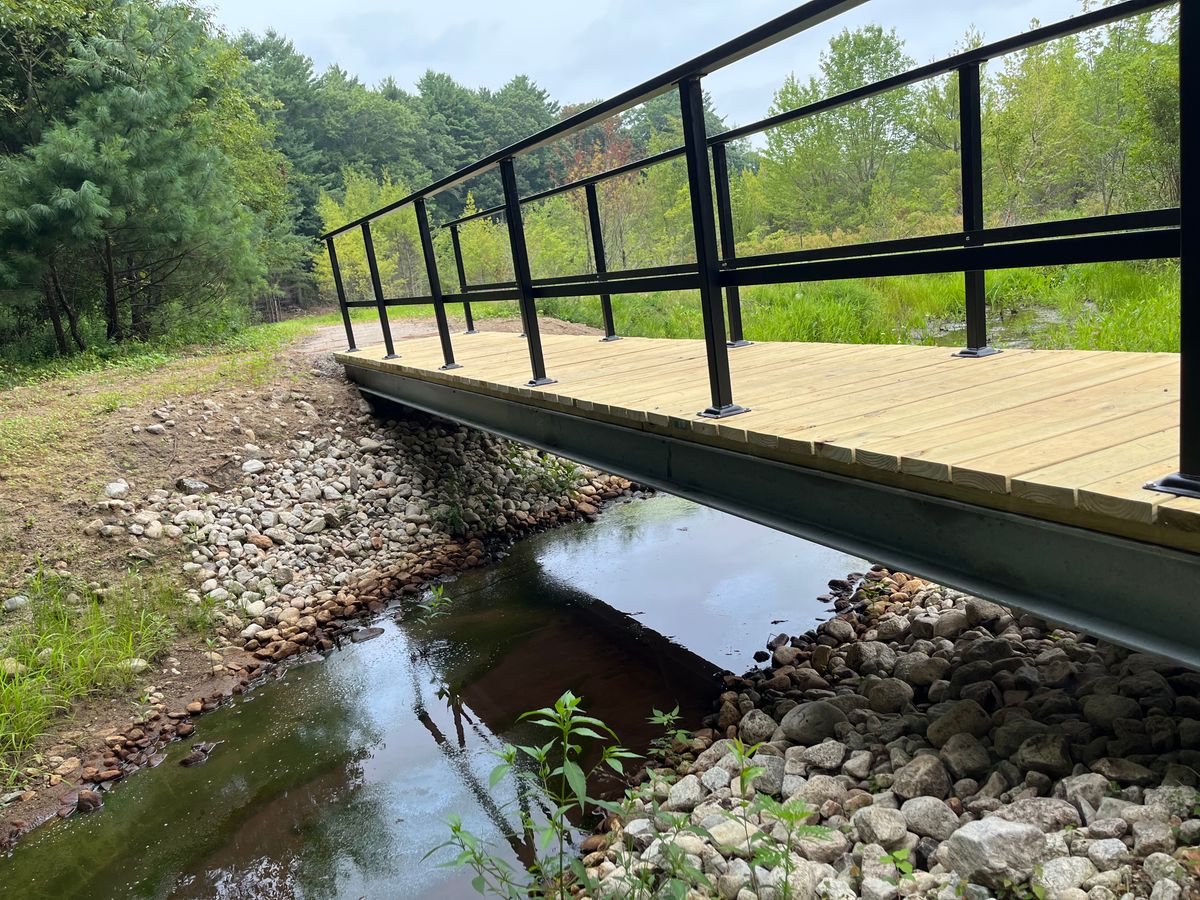
Bridge at the downstream end of the restoration project where a culvert was removed (credit: Adrian Wiegman)
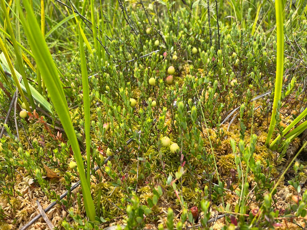
Assemblage of sphagnum, cranberry, and wetland plants that were preserved through the restoration (credit: Adrian Wiegman)
The In-Lieu Fee Program requires monitoring to measure changes in wetland characteristics such as hydrology, vegetation, and soils or stream characteristics such as aquatic habitat and bank condition as a result of an ecological restoration project. Researchers working with LO are assisting with this monitoring effort, as well as post-restoration faunal monitoring.
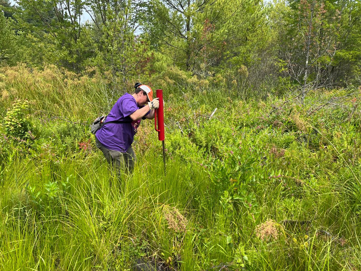
Christine Hatch installing a piezometer to monitor groundwater (credit: Adrian Wiegman)