Living Observatory Community Platform
Exploring the Platform
The Living Observatory Community Platform is bespoke software that we are developing in-house to directly support the needs and goals of LO and its members.
The first step was getting us all on the platform. Researchers get to have their own profiles, and also get access to all of the features of the platform with a single login. Talk to us if you want to join!
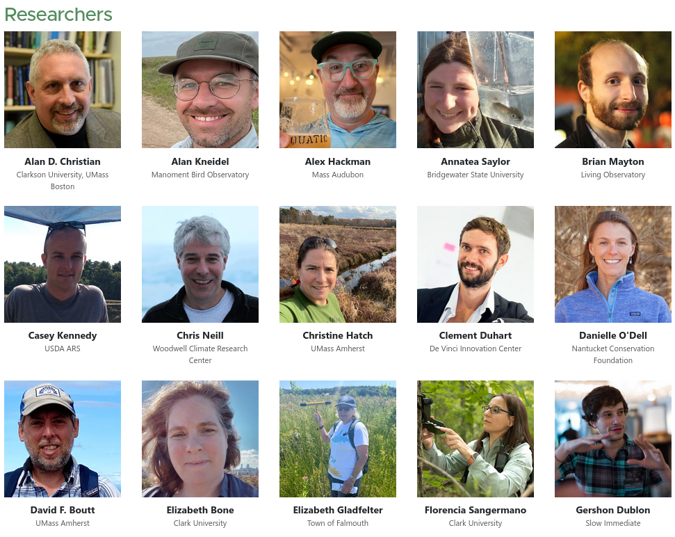
(...and many more, see the full People page.)
Projects are the core of the platform.
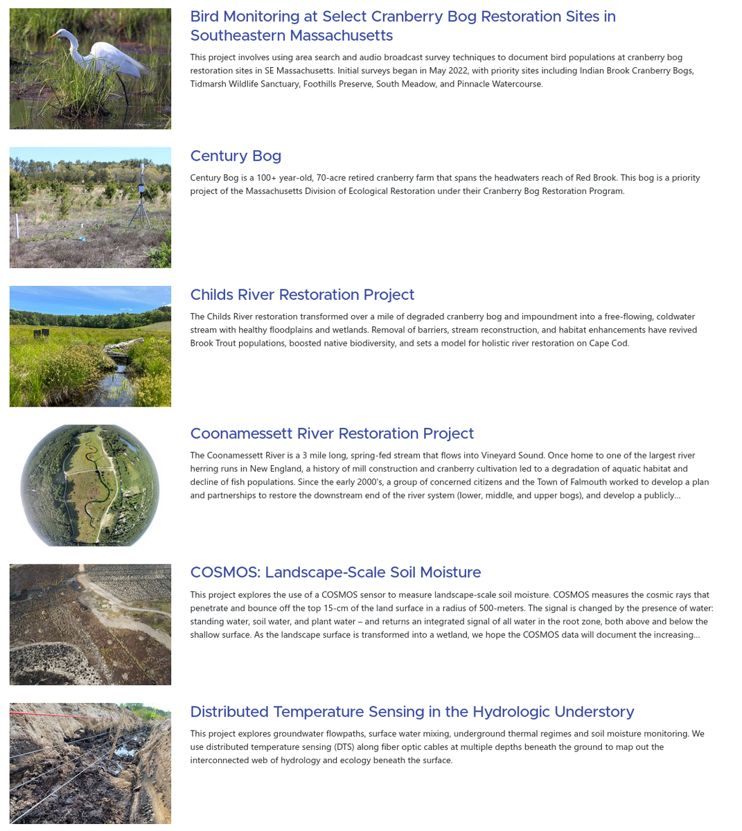
(...and many more, see the full project index).
Project members can post updates, which appear in the news feed on the home page, so the community can stay informed about what's going on, progress, and accomplishments. For example, the herring count project is looking for volunteers!
Projects also can have project webs, which let authors create unlimited pages for freeform content. This is a powerful tool that can let authors share just about anything. I share documentation about technologies I've built. Lou-Anne Conroy is using this feature to develop and share study guides for local students. This presentation is a project web.
The platform is based around a hierarchical, geoutagged database of locations. Locations can represent entire properties (which you can explore through the site map), monitoring plots, transects, and more. Locations in the database are associated with projects, so you can see what research or monitoring is being done at any given site.
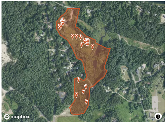
Each location has a notebook, which lets researchers record observations and field work. For example, we used the notebook for the Upper Coonamesset River Wetlands Complex to document the installation of soil moisture probes at several locations.
Alongside the notebook, each location also has a photo stream. The corresponding photo stream for Upper Coonamesset has photos from the sensor installation, so we can reference depth, soil type, and other visual context for each one.
Photos are also an important type of data. Karen Beattie is starting to explore using the platform for photo monitoring locations at the Windswept Bog restoration. We are also starting to import Chris Neill's team's vegetation monitoring photos.
Insights help us keep track of and share what we've learned. They are short observations that are tagged and searchable. Insights can be shared privately with teams, internally with the LO Community, or with the public.
Each insight is a discussion thread where community members can add their input, photos, and other resources.
Insight tags can help track learning objectives, and can help look back at accomplishments and findings.